


Two walks in the Sierra de Francia
(vero;2026-March-15)
We also have a blog entry about the three rewarding days we spent in the Sierra de Francia in the colourful month of May.
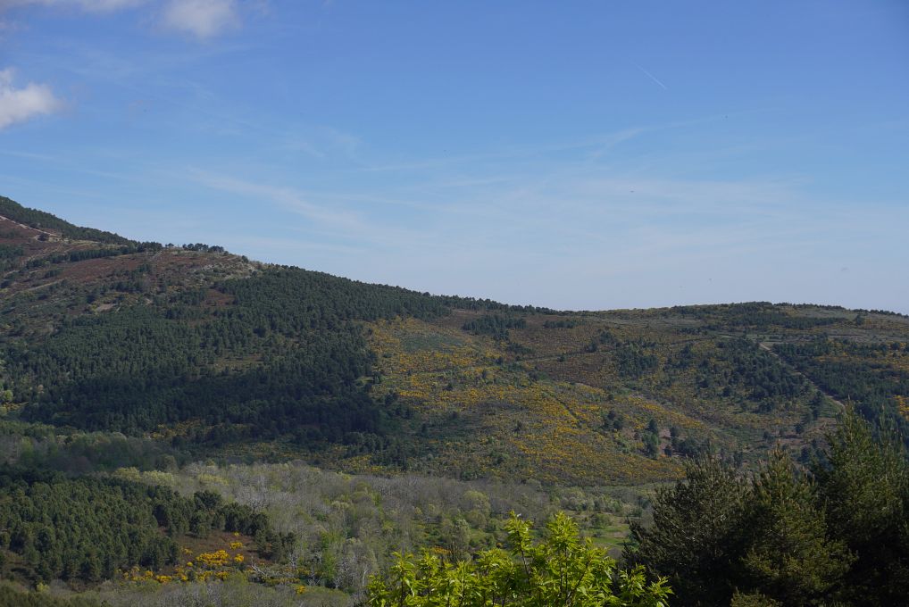
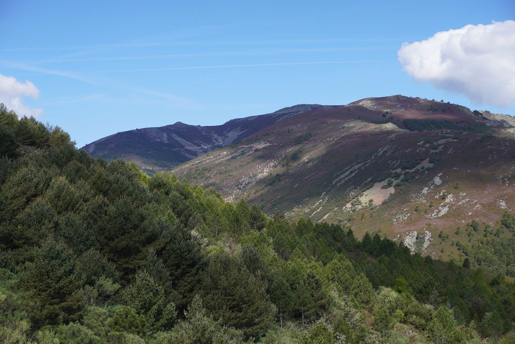
Our first gallery shows pictures taken during our trek up to the summit of the Peña de Francia (1727m) from the village of La Alberca. The second one is dedicated to the day we spent exploring the area around the Meander de Melero of the Río Alagón.
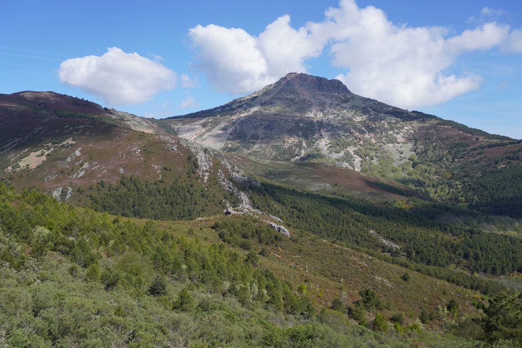
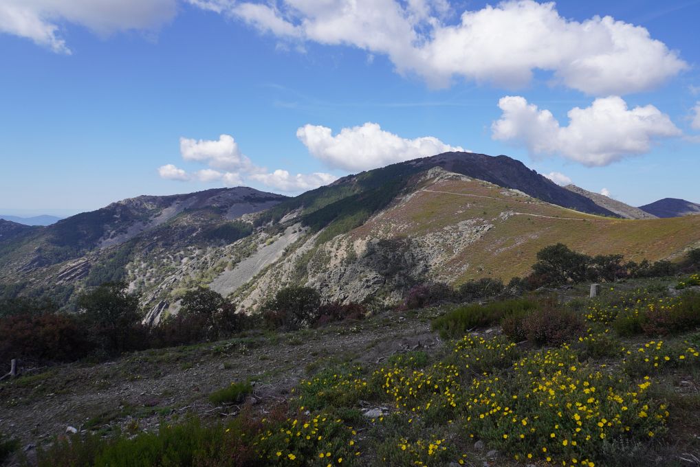
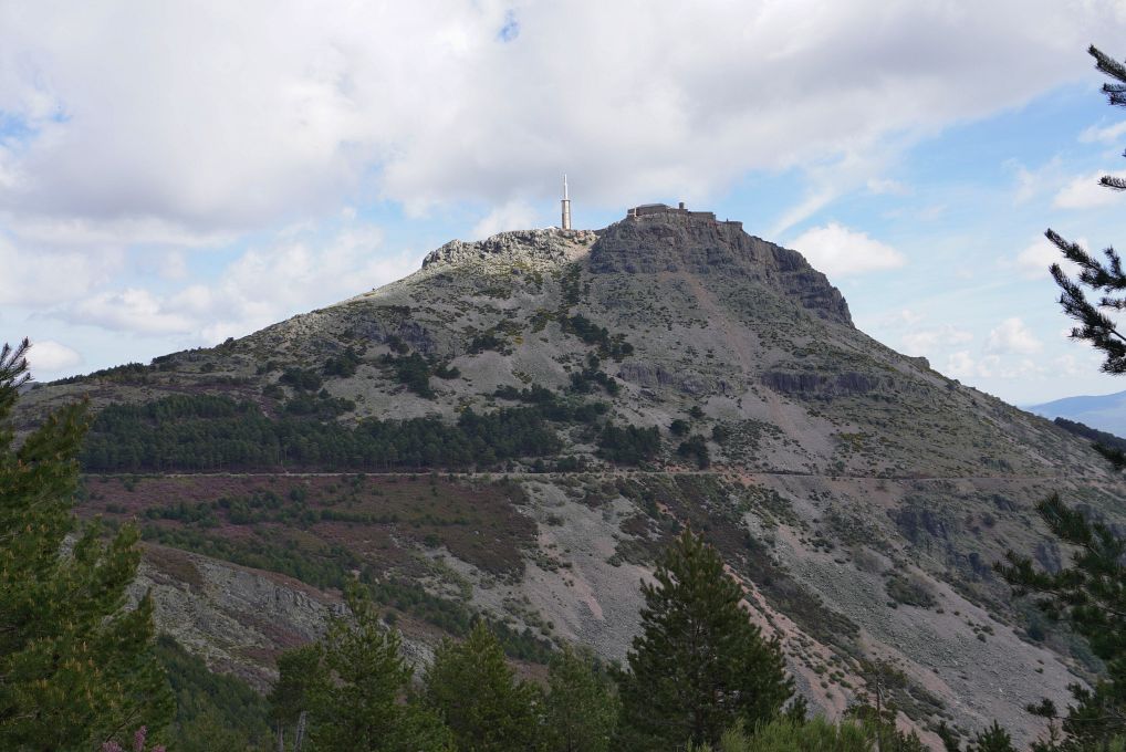
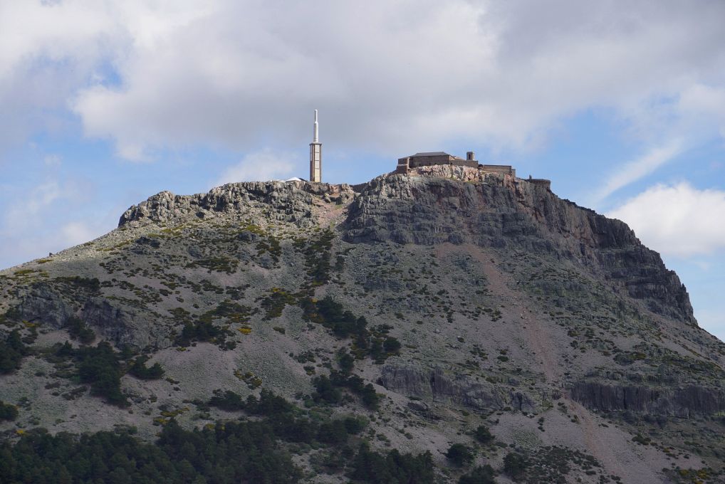
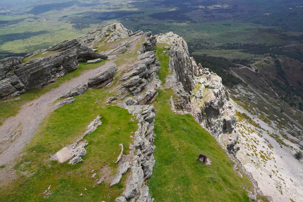
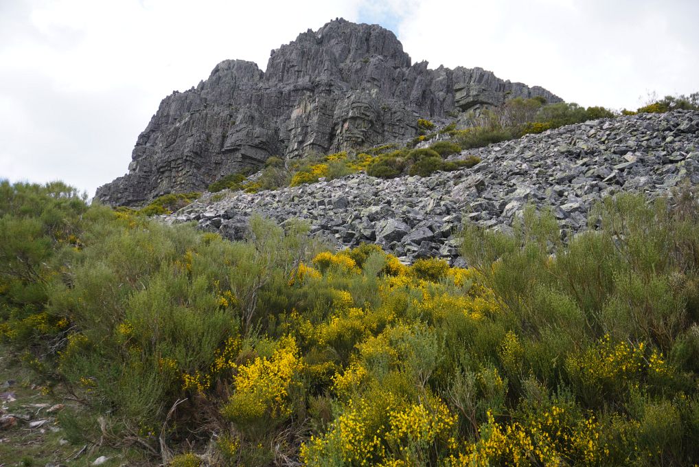
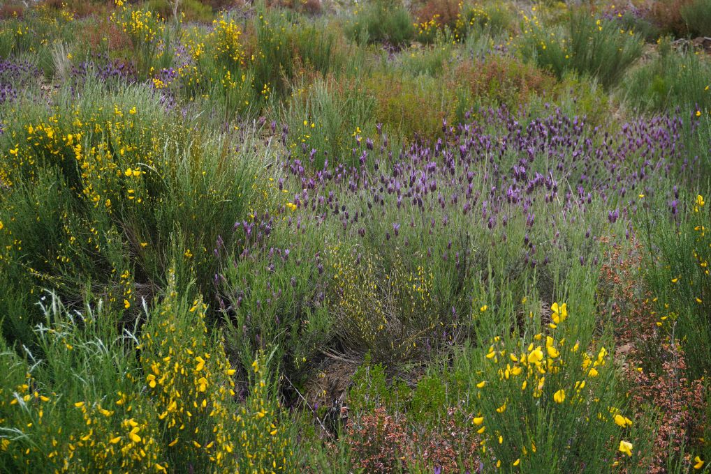
Hiking up to the summit of the Peña de Francia from La Alberca
Click here to read our impressions of this walk in the blog section (day two).
It is believed that a Frenchman of great religious devotion, Simon Roland (born in 1384 in Paris), had a dream that he would find a statue of the Virgin Mary in the "Rock of France". After searching for the "rock" for several years in France, he undertook the pilgrimage to Santiago de Compostela and on his return made a detour via Salamanca, where he heard the name "Peña de Francia" mentioned, which he translated as "the Rock of France" (although Francia relates to the river Francia and not the country of France). He went in search of this rock and eventually arrived in San Martín del Castañar, where the Virgin appeared to him and directed him to the mountain visible from the village. He found a Romanesque statue buried at the summit of the Peña de Francia on 14 May 1434 (it had been hidden with other images and church bells to protect them from being stolen by invading Moors and Saracens). Following this discovery, he took the name Simón Vela and dedicated his life to the veneration of the statue.
A chapel was built over the cave where the image of the Virgin had been found, followed over the years by a Dominican monastery, a church, an hospice for pilgrims and two further chapels.
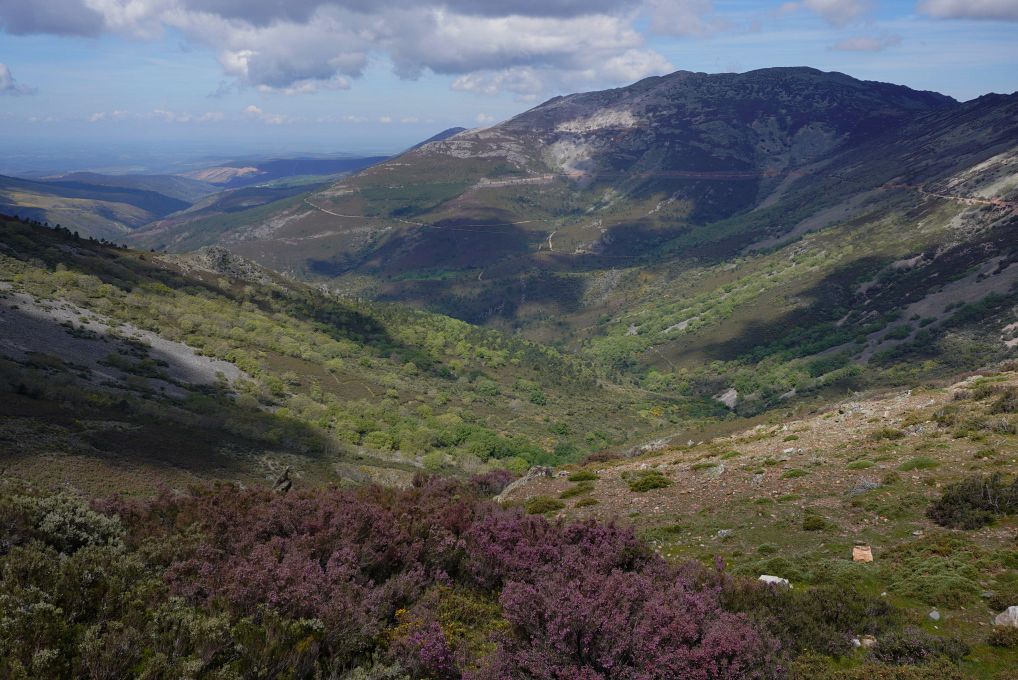


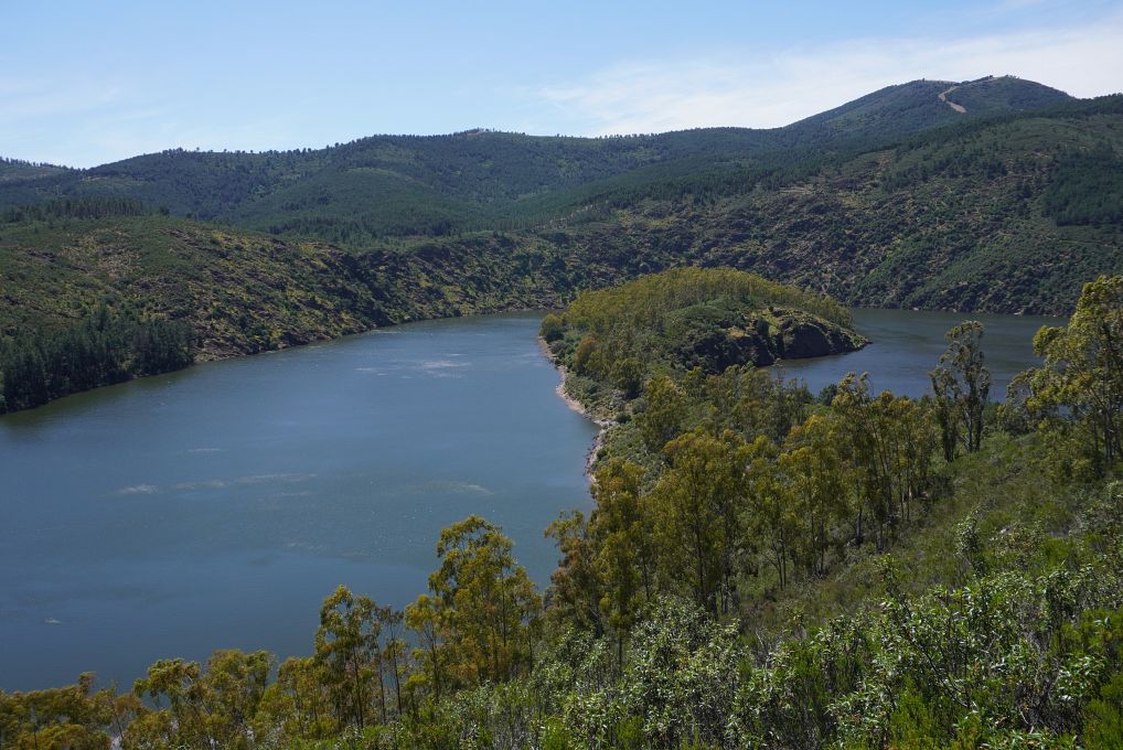
Exploring the Meander de Melero of the Río Alagón
Click here to read our impressions of this walk in the blog section (day three).


 has been built downstream and created a huge reservoir visible in the distance.")


Go back to Villages of the Sierra de Francia, go on to Map or go up to Photos
$ updated from: Photos.htxt Sun 24 May 2026 15:57:32 trvl2 — Copyright © 2026 Vero and Thomas Lauer unless otherwise stated | All rights reserved $