Landscape 2008
(thomas;2010-Jul-05)
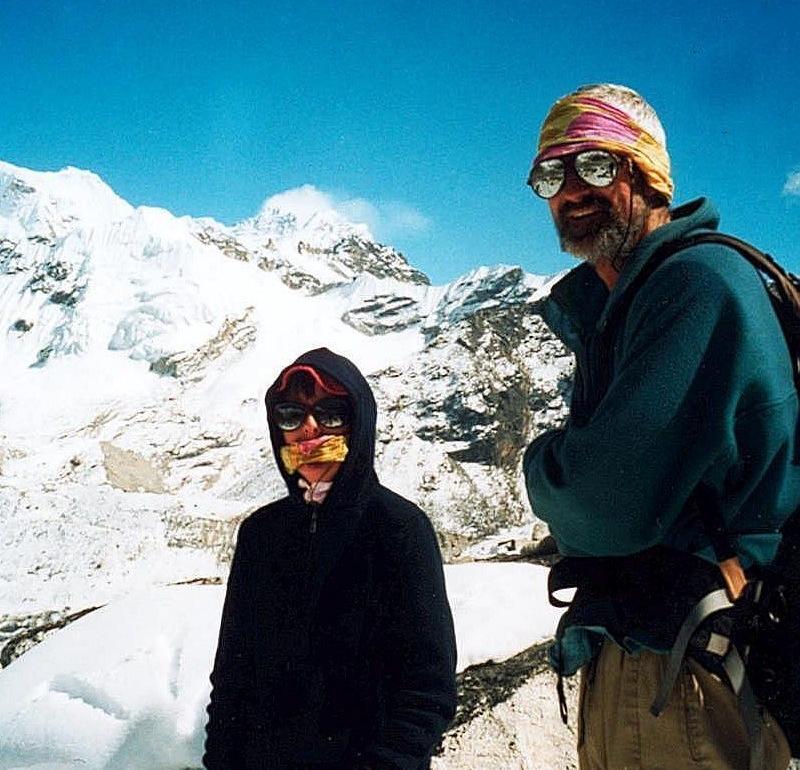
- This photo shows Vero and Thomas near the very top of Gokyo valley, some 5400m above sea level. Gokyo is one of the upper valleys in the Khumbu region and it leads straight to the giant south face of Cho Oyu. The area where the shot was taken is called Six Lakes, because there are many small lakes there. The smoking mountain in the background is not Cho Oyu, it's 8516m-high Lhotse, the southern neighbour of Everest (which is hidden to the left). This place is one of the very few spots in the Khumbu where Lhotse's west face can be seen in all its glory. See our Google map of this region, the marker “Six Lakes and view towards Lhotse”.
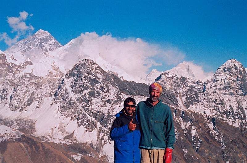
- Together with an Indian acquaintance we had met on the trails on top of a hill in the Gokyo valley, above the Third Lake. Behind us there's Mount Everest (8848m, the big triangle left), again Lhotse (mostly hidden behind clouds) and, to the right and even further in the background, Makalu (8462m) with clouds streaming off its ridge.
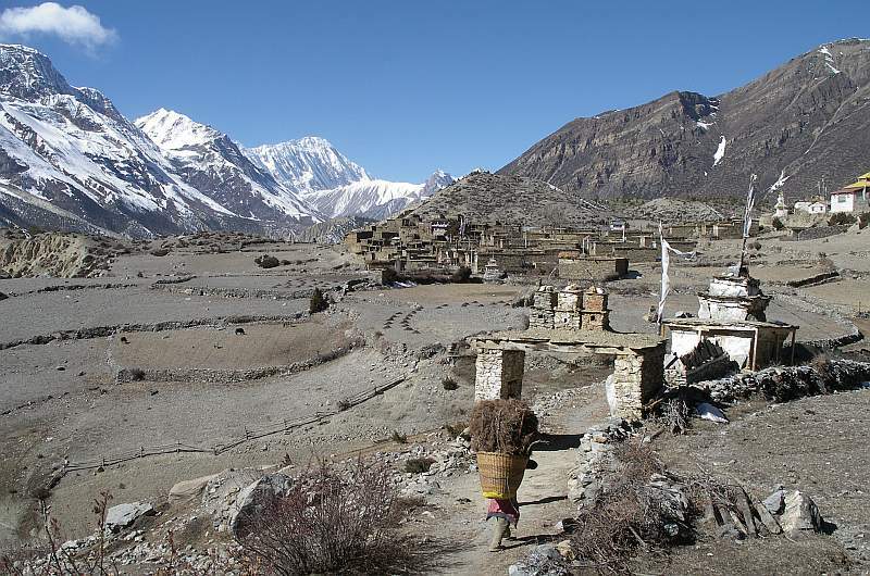
- This is a village in the upper Manang valley, on the way up to Thorung La (Annapurna circuit). The Nepalese man is carrying a load of firewood (collecting this wood will have cost him the better part of the day as the region is rather arid).
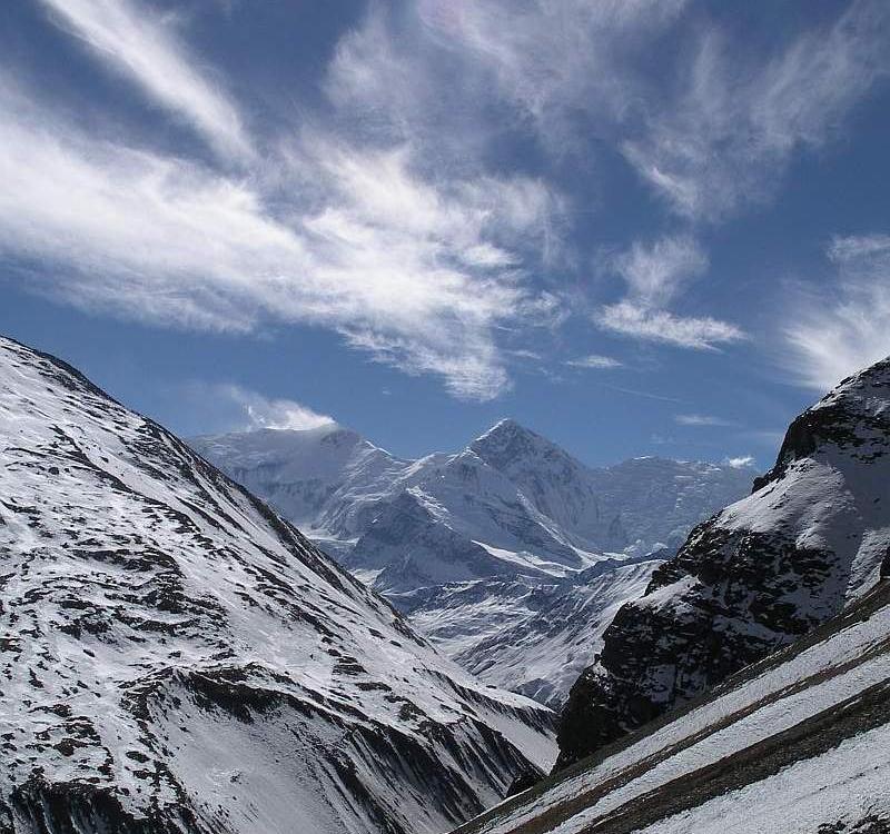
- Again Manang valley, near the top of Thorung La. This pass is rarely totally snowed-in but being over 5400m above sea level, there is always some snow around.
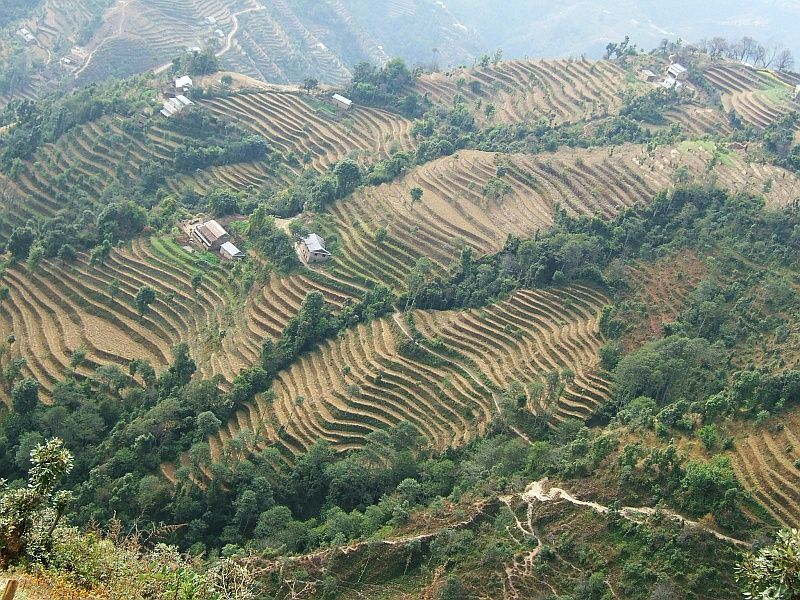
- In the foot hills of the Himalayas, perhaps 2000m above sea level. This is all cultivated land, with hundreds of small terraces used for growing potatoes, barley, wheat…
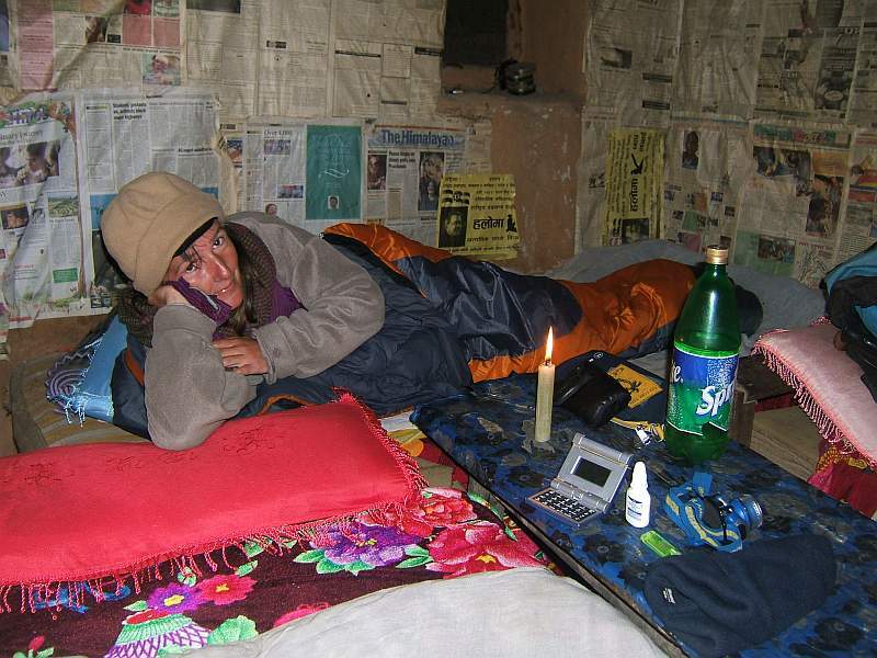
- Well, this is not exactly a landscape. It's Vero and her trusty sleeping bag, in a rather basic lodge somewhere on the Helambu trail (the area just north of Kathmandu). There was no electricity in this village (nowadays that's pretty rare, even high up in the mountains: almost all lodges have solar panels and big, heavy batteries these days), so we were given just a candle. Lone evenings in such lodges can be pretty boring: normally we'd be asleep by 8pm or so, after a few hearty helpings of dal bhat. On the positive side, we'd get up with the sun, at roundabout 6am.
- This is a panorama shot showing the head of the Gokyo valley. To the left are the serene green waters of the Fourth Lake (at a height of 5400m), behind which the so-called Frostbitten Fingers (~5800m) point to the sky. The white backdrop is formed by the rock wall connecting Cho Oyu (8201m, almost exactly in the middle of the photo) and Gyachung Kang, with its 7952m the highest non-8000m mountain. The Ngozumpa glacier, to the right, is one of the longest glaciers in the world. See also the terrain map, marker “Vista up to Cho Oyu”.)
(Clicking the image will open a much bigger version in a separate tab or window.)
Go on to Culture 2008 or go back to People 2008 or go up to Photos
$ updated from: Photos.htxt Mon 28 Apr 2025 14:55:34 trvl2 — Copyright © 2025 Vero and Thomas Lauer unless otherwise stated | All rights reserved $


