Welcome  FAQs
Links  News

United Kingdom

Quaint, peculiar, funny: the United Kingdom… our "Wahlheimat".

We actually like it here: the weather (and the food) are not quite as bad as the natives (and the French) make you believe.

Full map of all UK pages

Other Things

Translate & Share

Path: Photos > England > South West England > Somerset > Quantock Hills
Tags: UK  England  Somerset  2025  News

Quantock Hills


(vero;2025-April-20)

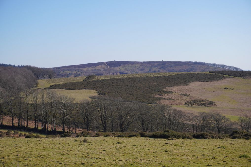
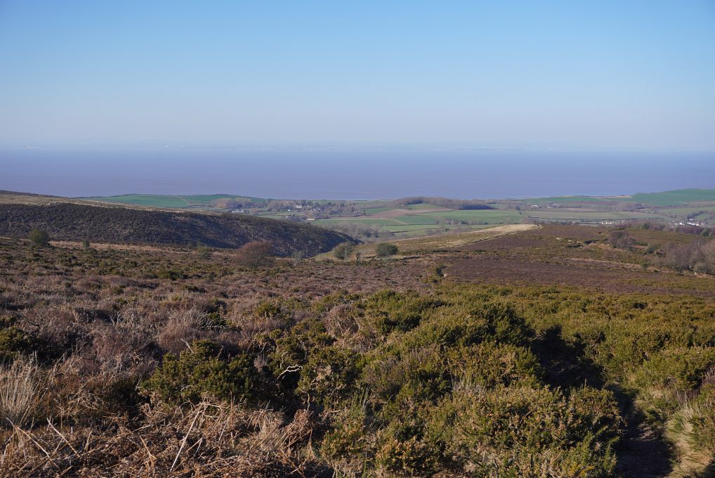
The Quantock Hills have been designated an area of outstanding beauty in 1956. They run from the coast of the Bristol Channel at Kilve and West Quantoxhead to the Vale of Taunton, circa 25 km further south. Their highest point is Wills Neck at 384 m and the surrounding hills offer splendid and extended views (on a clear day) in all directions: towards Exmoor, the Malverns, the Brecon Beacons in Wales and the Dorset Downs. Click here for a map of the area.

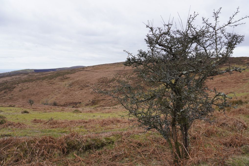
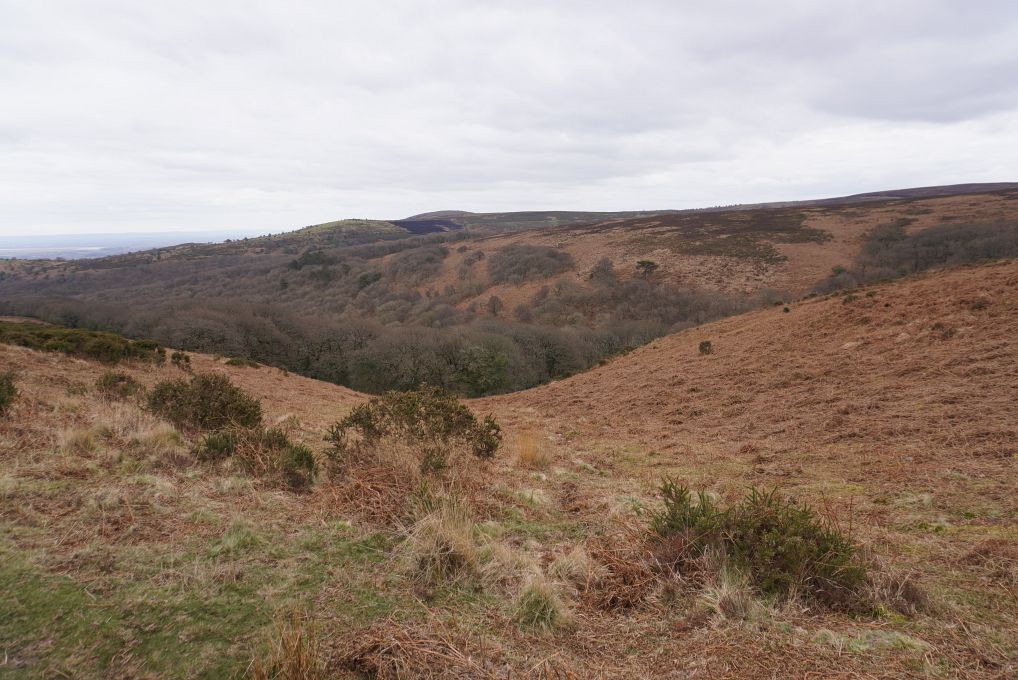
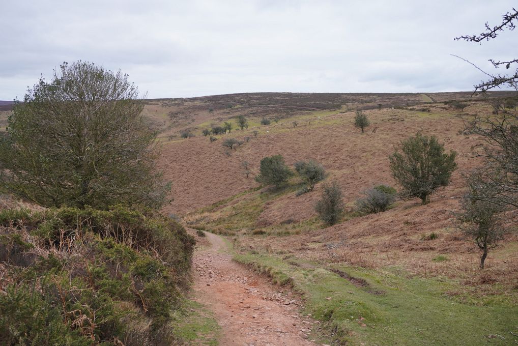
The hills offer a variety of landscapes, from an exposed plateau covered with heath and gorse to deep wooded combes and gentle rolling slopes dotted with farms and villages.

We were not so lucky with wide-ranging views when we were there but we could clearly see Wales on the other side of the water. Since we were based in Doniford on the coast, we concentrated our explorations on the northern part of the hills but will definitely come back for more.

Our first walk started in the village of Bicknoller from where we climbed to the plateau. This photo is a panorama, click the cross on the right below the photo (or press F if viewing on a desktop) to expand it to its real size and use the bottom scroll bar to navigate through it.
Heath and gorse on the plateau, green rolling hills in the background. View towards the Bristol Channel with the nuclear plant of Hinckley Point on the coastline. There were many sheep roaming the plateau. Descending back to Bicknoller. This photo is a panorama, click the cross on the right below the photo (or press F if viewing on a desktop) to expand it to its real size and use the bottom scroll bar to navigate through it. Rolling hills with Bicknoller in the valley. The way down to Bicknoller. Bluer skies on our second walk, view towards the coast with Hinkley Point on the right. We started in the village of Kilve and climbed to the plateau again. This photo is a panorama, click the cross on the right below the photo (or press F if viewing on a desktop) to expand it to its real size and use the bottom scroll bar to navigate through it. Beautiful trees. View towards the Bristol Channel. Nice views from the plateau. There are some waterspots on the plateau, much visited by sheep, wild horses and deer. There are many paths crisscrossing the plateau: some are wide dirt tracks, other are smaller and cutting through the gorse and heath. Hinkley Point on the right of the picture. Heath and Gorse, Gorse and Heath. A wild (Exmoor?) pony met on the way, we saw half a dozen of them.

[Go to Top]

Go back to Montacute House or go on to The Jurassic Coast in Somerset or go up to Somerset


$ updated from: England.htxt Mon 28 Apr 2025 14:55:35 trvl2 — Copyright © 2025 Vero and Thomas Lauer unless otherwise stated | All rights reserved $