Welcome  FAQs
Links  News

United Kingdom

Quaint, peculiar, funny: the United Kingdom… our "Wahlheimat".

We actually like it here: the weather (and the food) are not quite as bad as the natives (and the French) make you believe.

Full map of all UK pages

Other Things

Translate & Share

Path: Photos > England > South West England > Somerset > The Jurassic Coast in Somerset
Tags: UK  England  Somerset  2025  News

The Jurassic Coast in Somerset


(vero;2025-April-20)

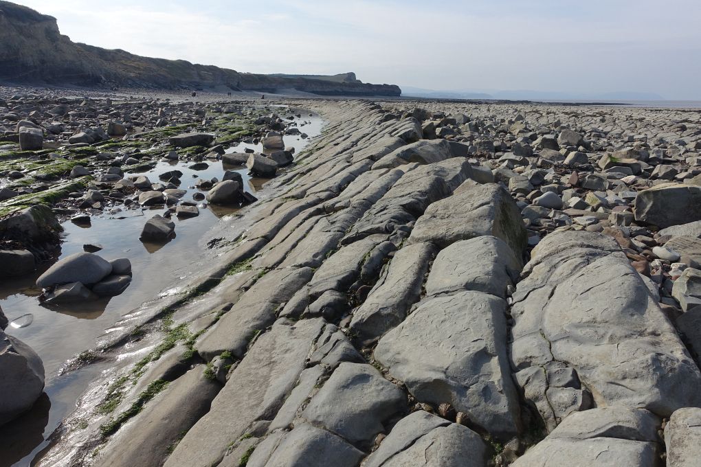
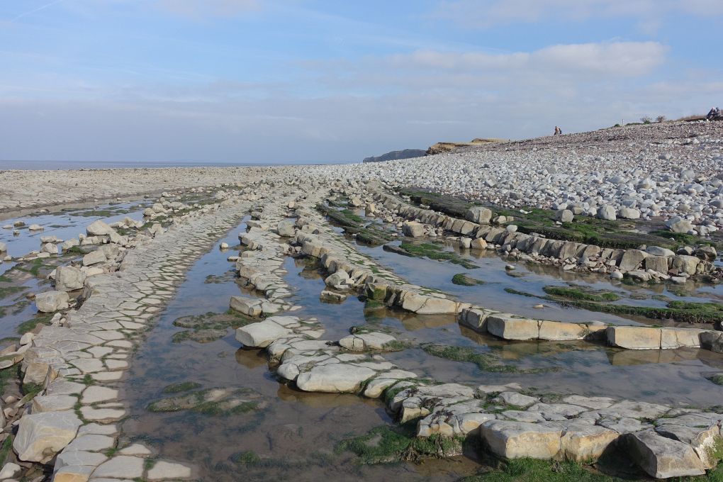
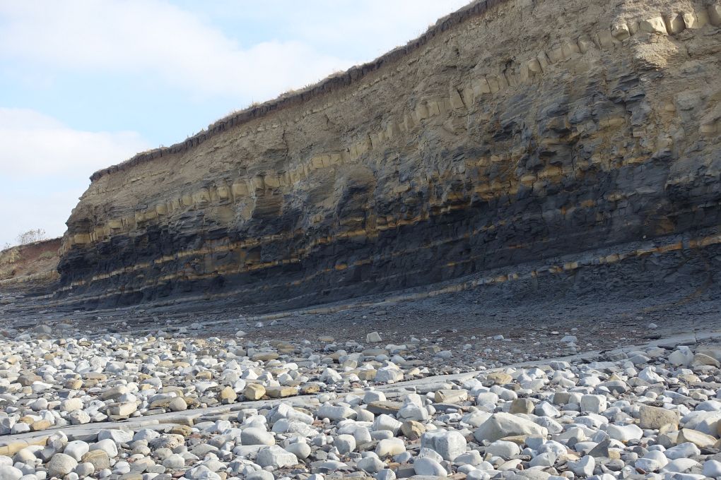
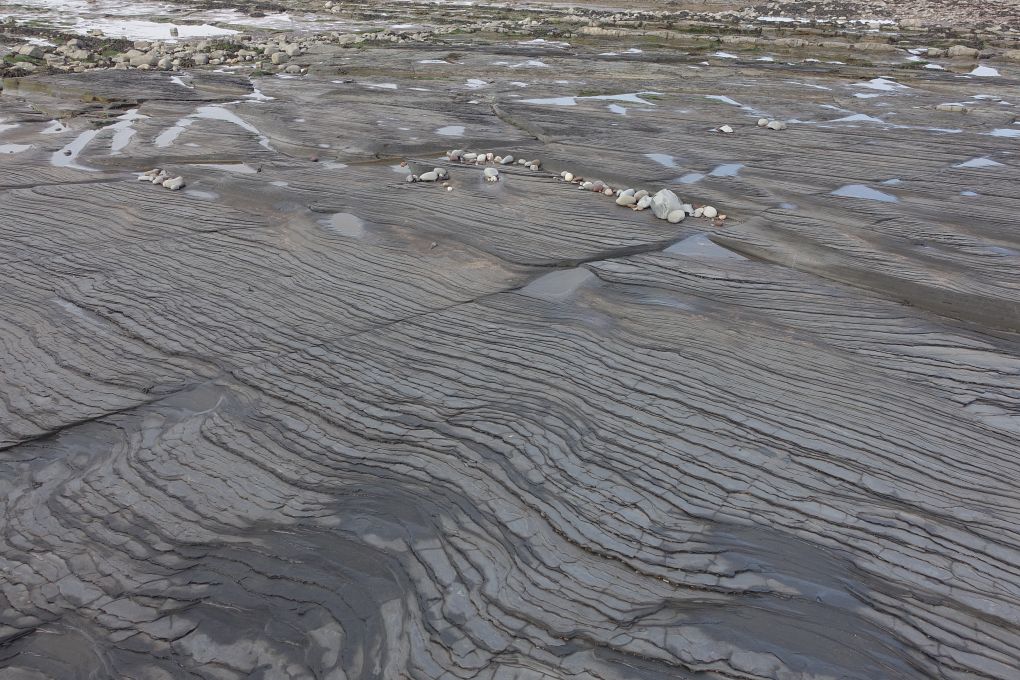
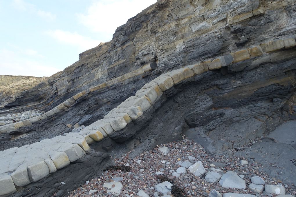
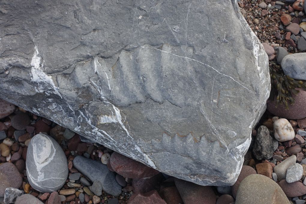
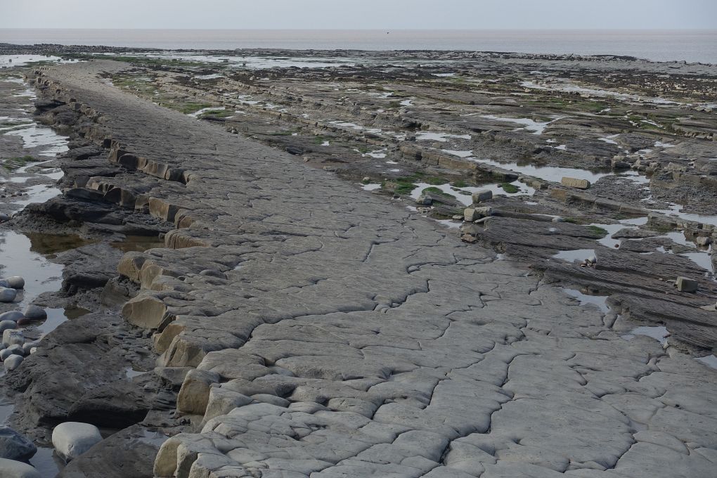
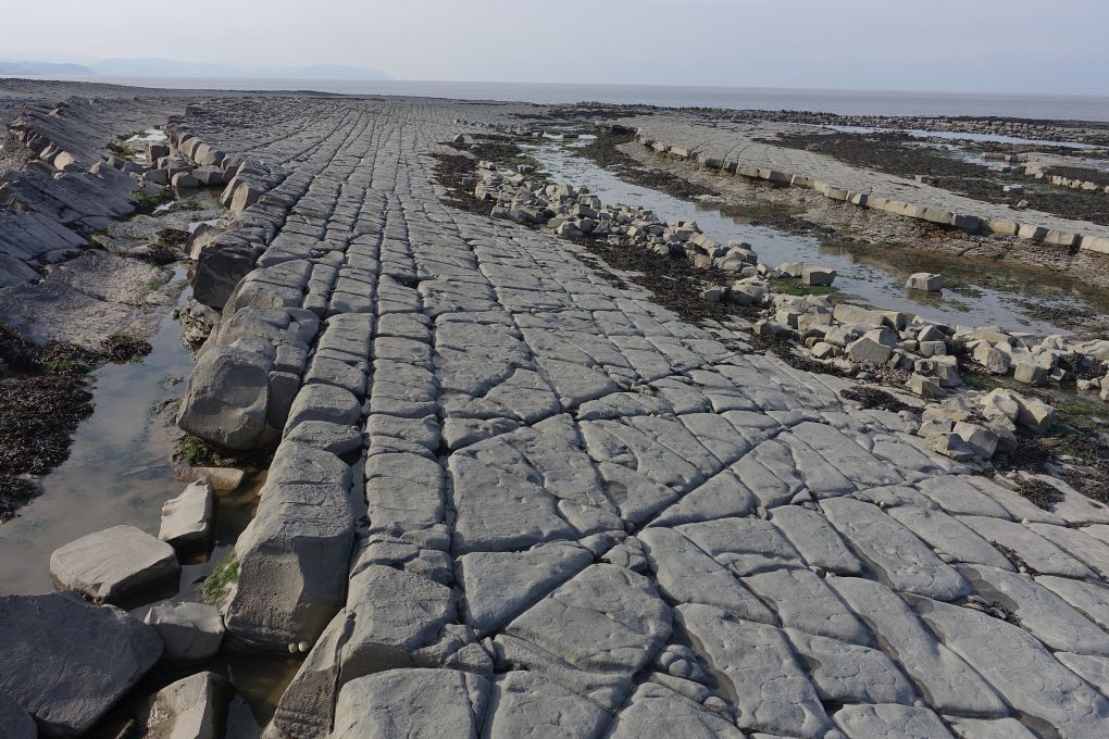
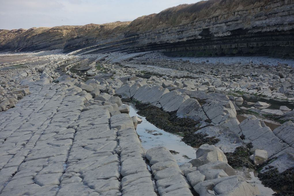
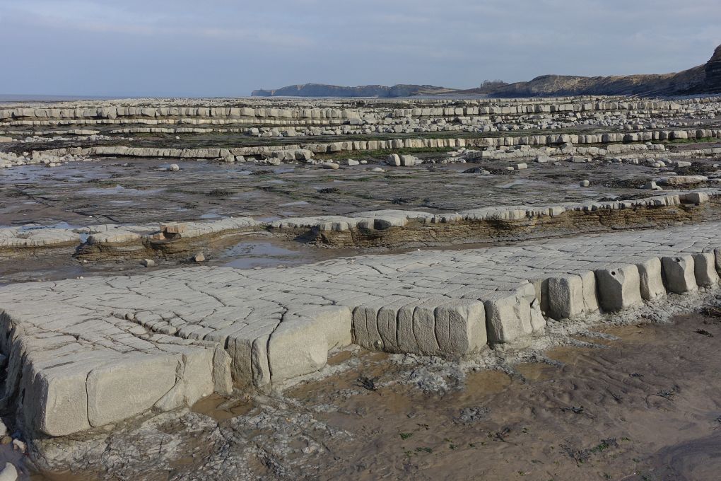
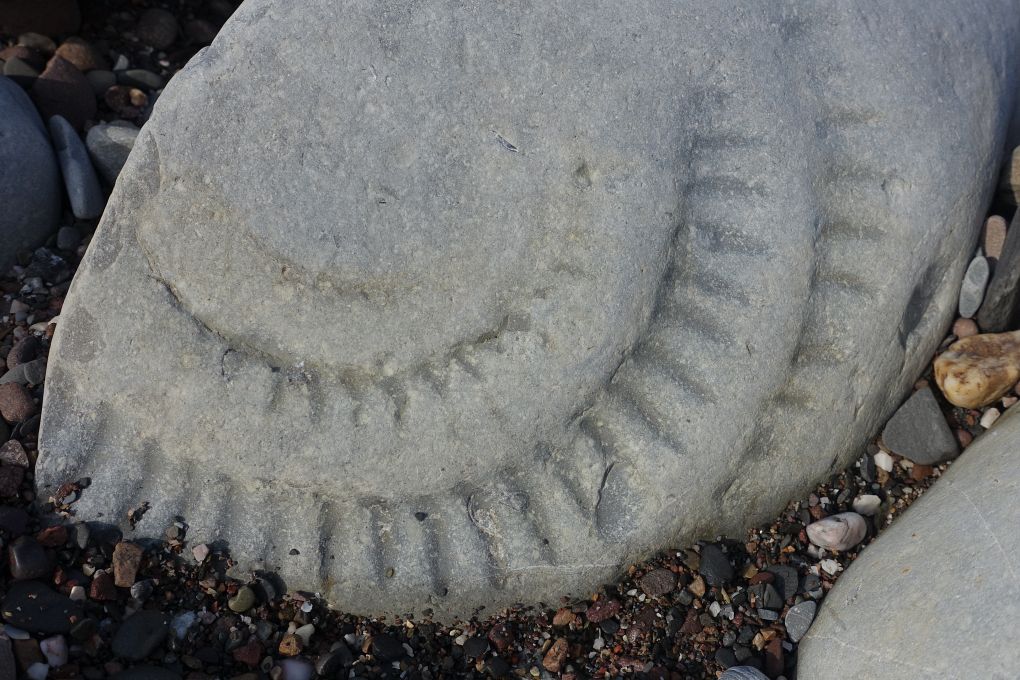
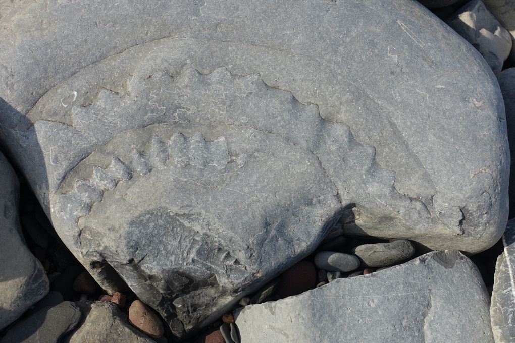
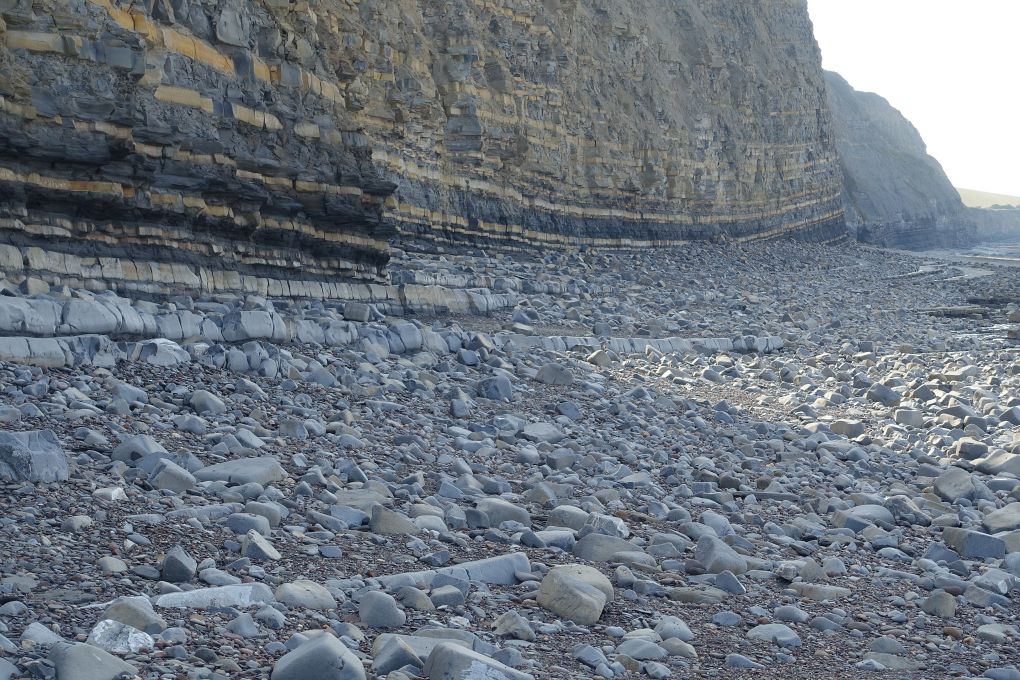
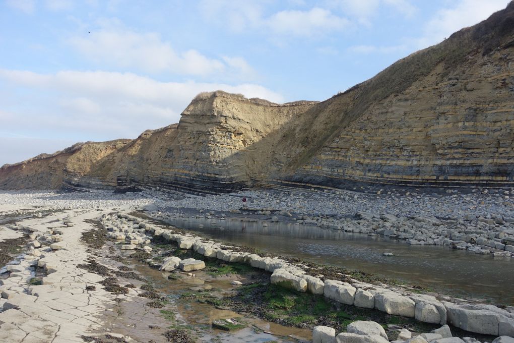
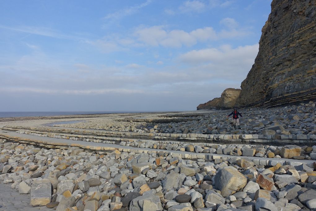
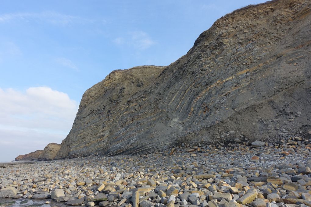
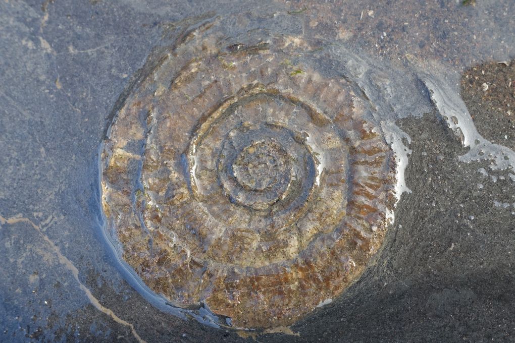
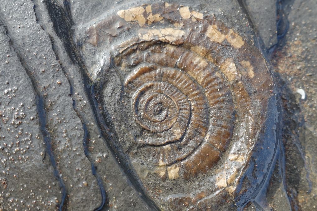
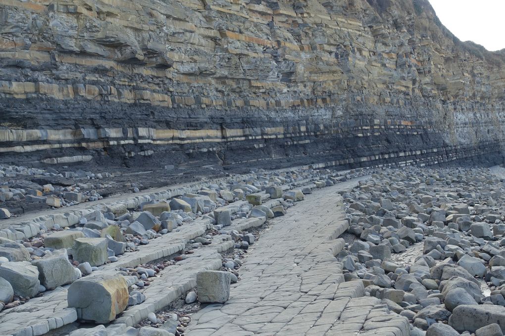
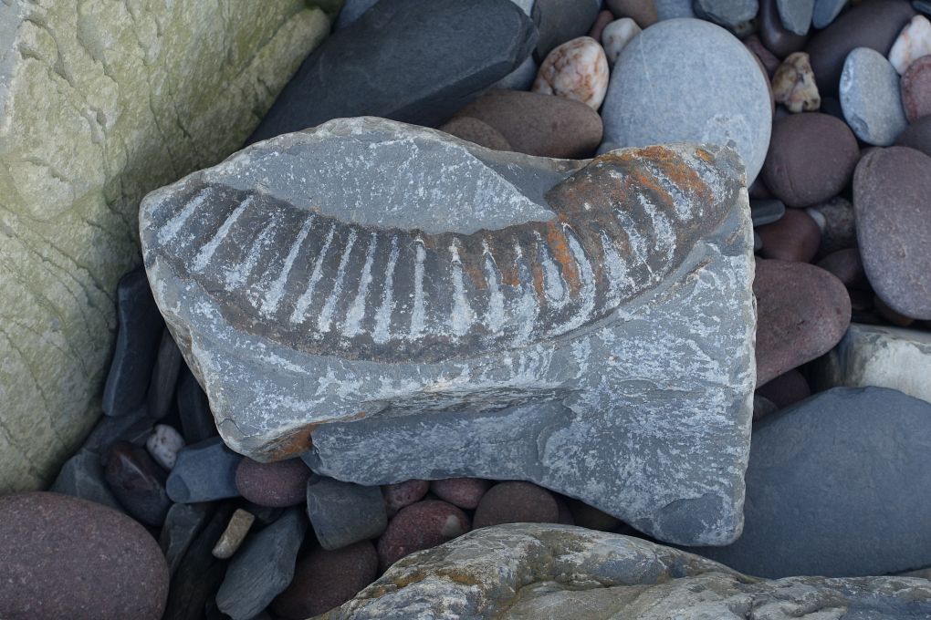
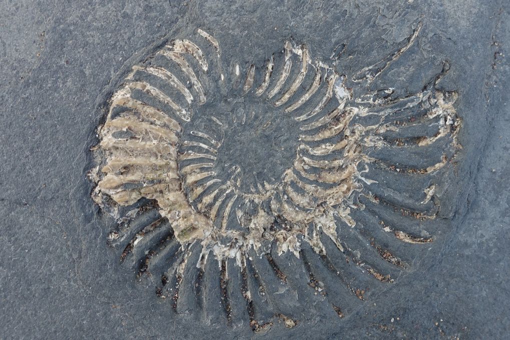
We were impressed by the coast between Kilve Beach and Minehead, a true treasure trove for would-be geologists and fossil hunters: landslips have laid bare some incredible shapes and colours, particularly some creamy looking alabaster which fascinated us. This portion of coast has been designated a geological Site of Special Scientific Interest (SSSI).

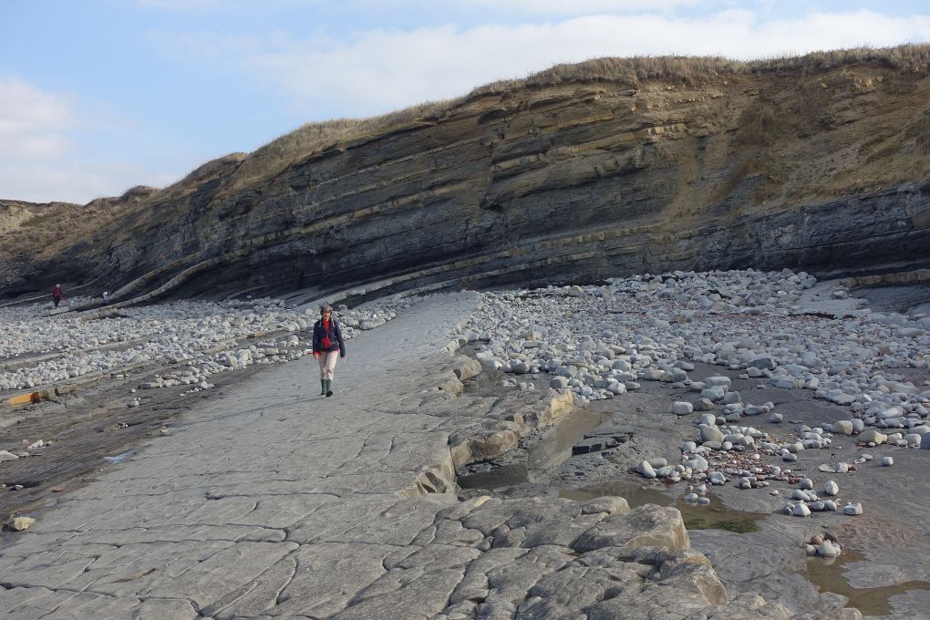
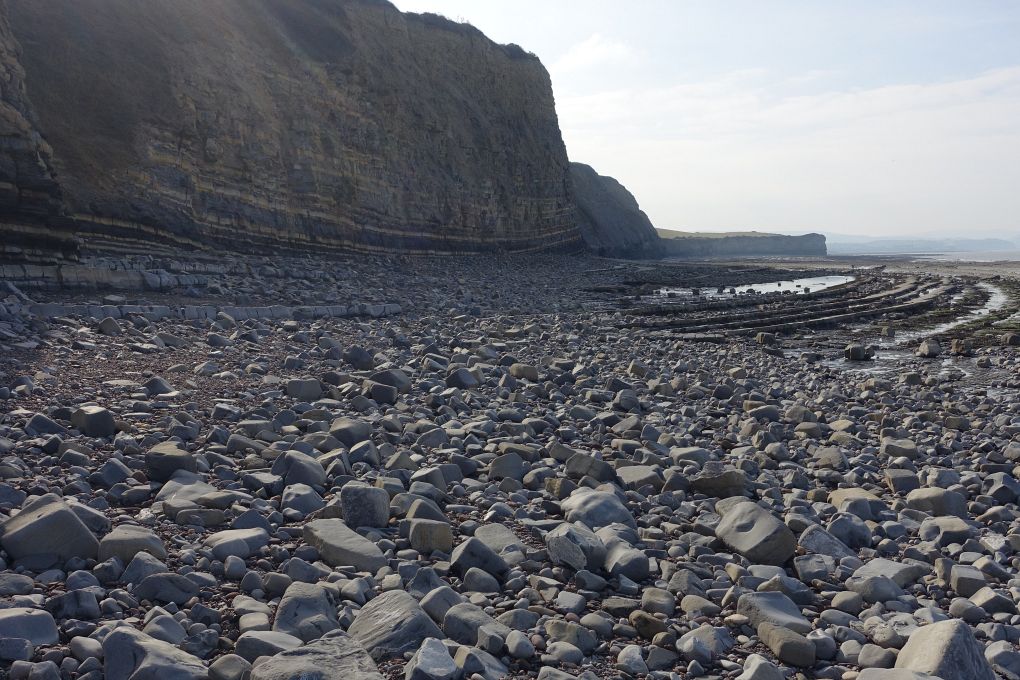
We were based in Doniford and walked along the coast on two different days, unfortunately under grey skies: a bit of sun would have worked wonders to bring out the colours of the rocks.

On our first day, we walked from Doniford to Dunster Beach via Watchet and Blue Anchor; On the second day, we walked from Doniford to East Quantoxhead Beach via St Audries Bay Beach.

Watchet harbour. The village of Watchet is picturesque and well preserved with a lot of history. The hills of Exmoor can be seen in the background. This photo is a panorama, click the cross on the right below the photo (or press F if viewing on a desktop) to expand it to its real size and use the bottom scroll bar to navigate through it.
Walk from Doniford to Dunster Beach: we followed the top of the cliffs between Watchet and Blue Anchor. View towards Minehead with Exmoor in the background. The beach at Blue Anchor. Breakwaters on the beach at Blue Anchor. Breakwaters on the beach at Blue Anchor. The steam train of the West Somerset Railway follows the coast for a while, spot Dunster Castle and church in the background. The views from the cliff tops were not so great, so we decided to return to Doniford via the beach. This photo is a panorama, click the cross on the right below the photo (or press F if viewing on a desktop) to expand it to its real size and use the bottom scroll bar to navigate through it. View back to Blue Anchor towards Minehead and Exmoor. The cliffs between Blue Anchor and Watchet. Detail of the coloured rocks in the cliffs. The cliffs between Blue Anchor and Watchet. The cliffs between Blue Anchor and Watchet. Alabaster layers trapped in the cliffs. Alabaster. Alabaster layers trapped in the cliffs. Detail of the coloured rocks in the cliffs. The orange layer is alabaster. Exhibit in Watchet's museum. Walk from Doniford to East Quantoxhead Beach: St Audries Bay. There is a waterfall just behind the first cliff head (see next picture). The waterfall at St Audries Bay Beach. St Audries Bay Beach. The cliffs along St Audries Bay Beach. Looking back towards Minehead with Exmoor in the background. Looking down to the beach. East Quantoxhead Beach. East Quantoxhead Beach. The cliffs at East Quantoxhead Beach. East Quantoxhead Beach. East Quantoxhead Beach. Layers of slate on East Quantoxhead Beach. Some fossils spotted on East Quantoxhead Beach. A fossil spotted on East Quantoxhead Beach.

[Go to Top]

Go back to Quantock Hills or go on to Dorset or go up to Somerset


$ updated from: England.htxt Mon 28 Apr 2025 14:55:35 trvl2 — Copyright © 2025 Vero and Thomas Lauer unless otherwise stated | All rights reserved $